
AERIAL FIELD
INTELLIGENCE FOR
WEST TEXAS
Authorized aerial documentation, mapping, and reporting for industrial facilities, ranch properties, renewable energy sites, and commercial infrastructure.
Coverage
Permian Basin
Dispatch
24 hours
Cert
FAA Part 107
Status
Fully Insured
Capabilities
WHAT WE DO
Clear, accurate, and actionable aerial intelligence. No fluff — just the data you need to keep operations moving.
Our flagship offering — autonomous drone grids, radiometric thermal profiling, and AI-assisted anomaly reporting in one comprehensive compliance package.
Full-rotor aerial inspection using high-resolution imaging to document blade integrity, structural condition, and defect progression — without taking your turbines offline.
Waterline Watch
Aerial route monitoring for water transfer lines, crossings, pooling, and suspected issues.
Solar Farm Inspections
Thermal and visual inspection of solar arrays and utility-scale farms to identify hotspots and damage.
Ranch Asset Mapping
Practical ranch maps showing roads, gates, fences, tanks, troughs, water points, and structures.
Roof Inspections
Residential and commercial roof inspections documenting condition, storm damage, and wear — no ladders required.
Cell Tower Inspections
Close-proximity aerial inspection of cell towers, antennas, and mounting hardware — no climbing required.
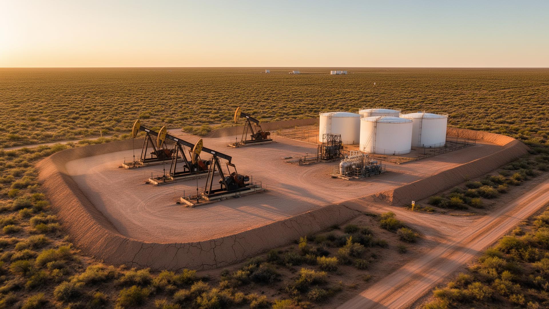
Artificial Lift Inspections
Aerial inspection of pump jacks, ESPs, and artificial lift equipment — documenting mechanical condition, leaks, and wear without shutting down production.
Why choose us
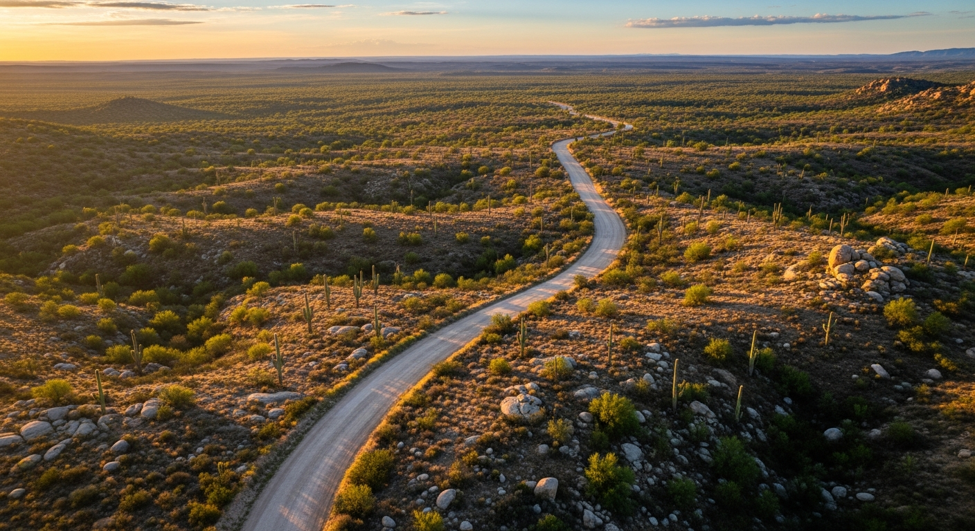
WE WORK WHERE YOU WORK
We aren't a tech startup trying to figure out your operation. We're locals who use drone technology to solve real problems. When you hire West Texas Aerial Services, you get operators who know the terrain, understand the work, and deliver exactly what was promised.
Local Expertise
We know the Permian Basin. We understand the roads, the weather, and what operators actually need to see.
Fast Turnaround
Data is useless if it's late. We deliver high-quality reports and imagery fast — so you can decide today.
Precision & Safety
Fully licensed, insured, and focused on safe operations around high-value assets and active sites.
Unmatched Clarity
High-resolution thermal and visual data that leaves no room for guessing.
Field-ready
Operations snapshot
24hr
Dispatch response
100mi
Operating radius
7+
Asset categories
Part 107
FAA certified
Based in the heart of the Permian — flying for oil & gas, wind, solar, ranch, and telecom across West Texas.
Ready when you are